Map of Goshen Mills & Shops – information taken from the 1860 Map of Goshen and from the Map Drawn by Ivan Scranton in 1992
Wadleigh’s Map of Goshen, dated 1837, copied by M.G. Goodwin, of the NH Highway Department, 1939. Originally presented to the town by the late N.O. Whitford. Although inaccuracies appear, particularly in the Rand’s Pond area and again in the southwest portion of the town, it is the only known map giving divergent boundary lines and names of owners this early.
Map showing the location of the old Goshen Cellar Holes. Click here for more information regarding cellar holes.
Map showing the location of the historic schools of Goshen. Click here for more information regarding the old schools of Goshen.
Map of Goshen Community Sites
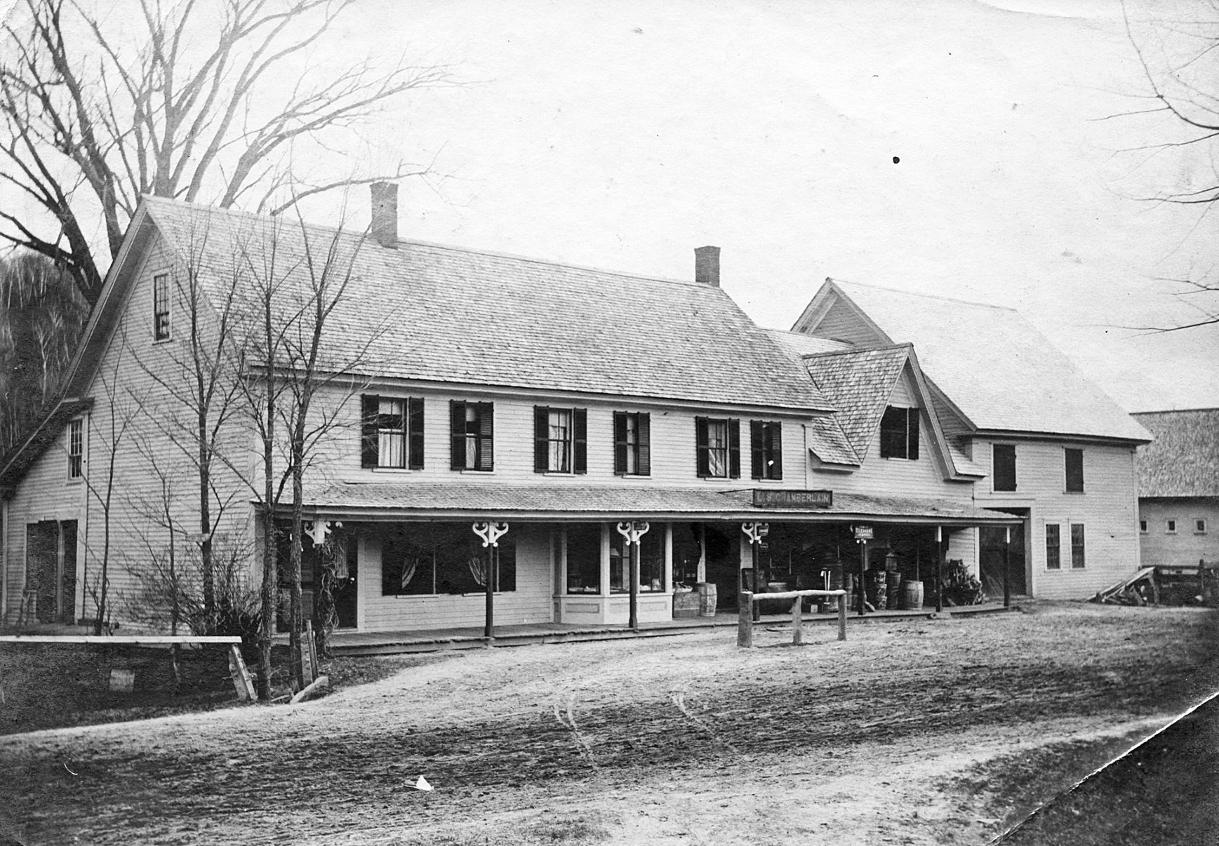
Map of Goshen’s Taverns, Stores, and Inns